
A Governing the Digital Society event, in collaboration with [urban interfaces] and the Open Cities Platform. Organized by Michiel de Lange (M.L.deLange@uu.nl) and Erna Ruijer […] Read More
All things happening in real life
A Governing the Digital Society event, in collaboration with [urban interfaces] and the Open Cities Platform. Organized by Michiel de Lange (M.L.deLange@uu.nl) and Erna Ruijer […] Read More
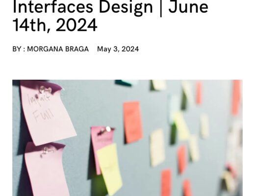
Together with various colleagues and organizations, I am co-organizing this event later this week: https://circulateproject.nl/2024/05/03/workshop-relational-interfaces-design/ Organized by Dark Matter Labs, The research project Charging the Commons at the Civic […] Read More
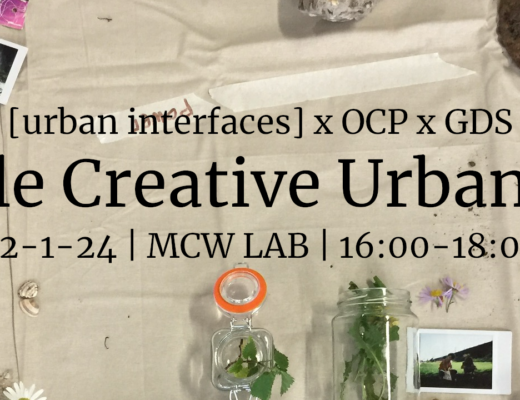
On Jan. 22 2024 between 16:00-18:00, I co-organize a roundtable event about ‘Creative Urban Methods’. The event is both to celebrate the launch of our […] Read More

Together with colleagues at Utrecht University and the Amsterdam University of Applied Sciences, I am organizing this event: Symposium & Workshop “Critical city-making: exploring design […] Read More

This is the third part of a 3-part report of a workshop held on 6 October 2022 about the data commons and the smart city, […] Read More

This is the second part of a 3-part report of a workshop held on 6 October 2022 about the data commons and the smart city, […] Read More

This is the first part of a 3-part report of a workshop held on 6 October 2022 about the data commons and the smart city, […] Read More

With my colleagues from the Utrecht University-based research group [urban interfaces], we’re organizing the 5th edition of our yearly graduate seminar series. This time the […] Read More

A bit late to post here, but it’s such a nice interview that I wanted to archive it anyway… Femke Niehof – science communications writer […] Read More

The research group [urban interfaces] I am part of was one of the organizing partners of the Media Architecture Biennale 2020, which took place 28 June […] Read More

Corelia Baibarac-Duignan presented online at the Data Justice Conference 2021 on behalf of both of us. We submitted an abstract long time ago (mid Dec. […] Read More

Together with colleagues Nanna Verhoef and Sigrid Merx, I am one of the organizers of the 3rd edition of the [urban interfaces] graduate seminar (2019-2020). […] Read More

How to involve citizens in discussion around the datafication of their city? That’s the main question of the cultural project Cirque du Data, initiated by […] Read More

The [urban interfaces] research group, composed of Nanna Verhoeff, Sigrid Merx and Michiel de Lange, have co-edited a special issue in Leonardo Electronic Almanac, titled […] Read More

Jiska Engelbert at Erasmus University Rotterdam is organizing a very interesting event (18 and 19 September, 2019) at which I will be speaking. See call […] Read More

Yesterday I gave a short talk about The Hackable City project, at a new partner org. of Utrecht University, Connekt, who regularly organize a series […] Read More

2019 [urban interfaces] graduate seminar series at Utrecht University Dates:12 & 26 February 2019, 12 March (seminars); 19-20 March 2019 (workshop)Location:MCW Lab, Kromme Nieuwegracht 20, […] Read More

On Wednesday 27 June 2018 I gave a short presentation at the NECS2018 conference in Amsterdam. In the presentation I talked about the issue of […] Read More

Medialab Katowice published an e-mail interview with me, as part of the Data (for) Culture conference in Katowice at which I spoke in December 2017. Here is […] Read More

On March 6 and 7 2018, I co-organized the workshop “Critical Making of Frictional Urban Interfaces”, as part of the course Urban Interfaces that I […] Read More